Geofencing and Smart Alerts Bring Real Control to Fleet Operations
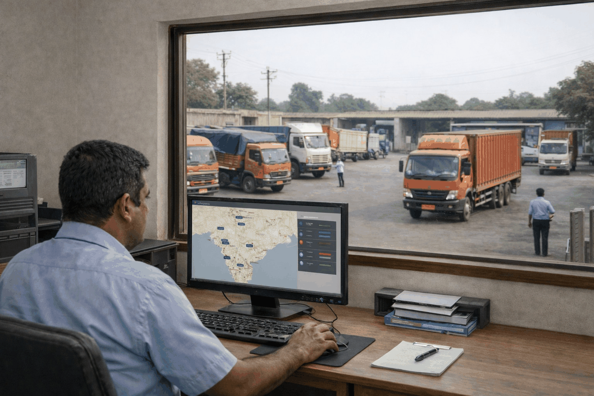
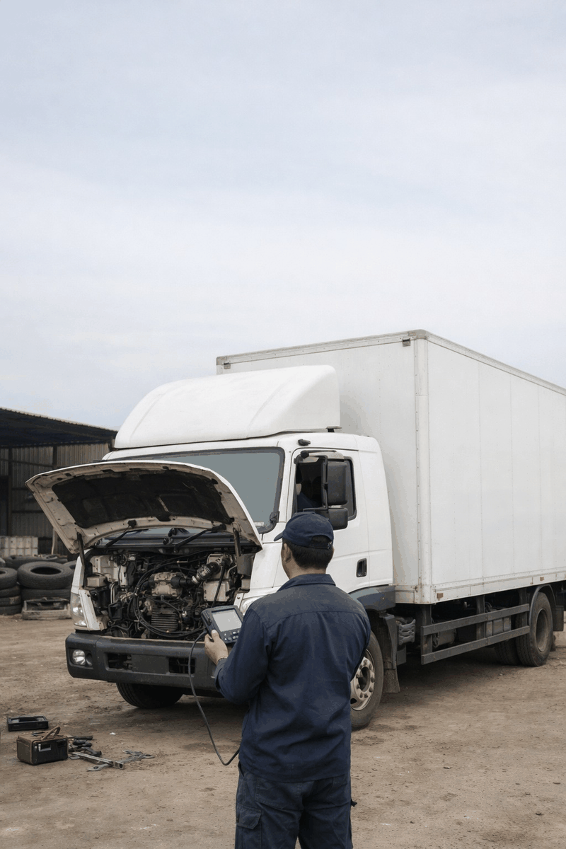
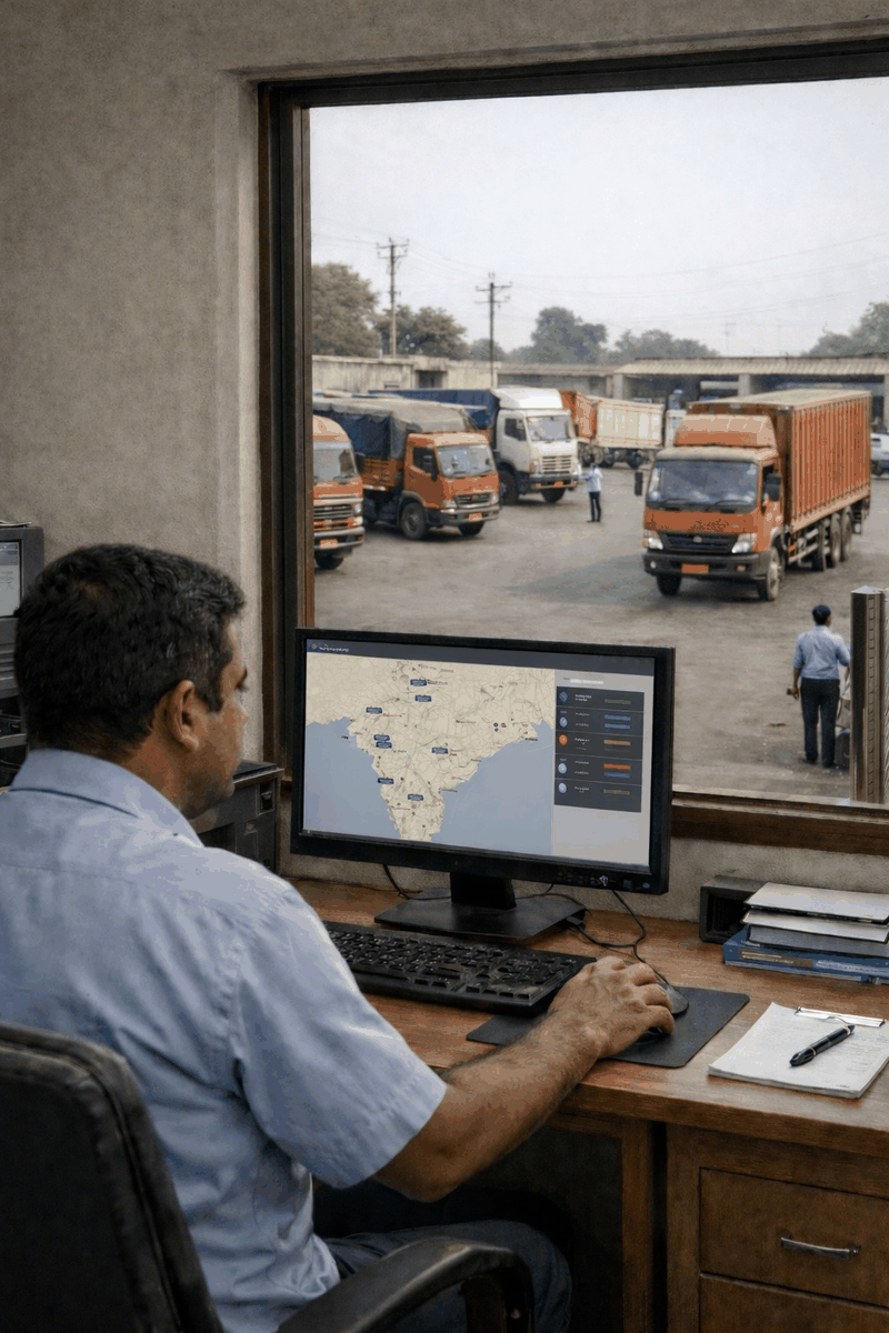
Fleet management has historically operated in two separate worlds that rarely talk to each other. There is the location world where is my vehicle, what route did it take, did it arrive on time and there is the mechanical world what is the engine doing, is something about to fail, when does this vehicle need workshop time. Both worlds generate data. Both have their own tools and dashboards. And in most fleet operations, the two streams sit in separate systems managed by different people who rarely compare notes. The result is a blind spot that costs fleets money in ways that are hard to trace and easy to miss.
Geofencing and mechanical alerts become genuinely powerful when they are treated not as separate features but as two inputs into the same decision. A geofence tells you where a vehicle is and whether it should be there. A mechanical alert tells you what the vehicle's health looks like and whether something is developing that needs attention. Put them together in real time and you have something that neither can deliver alone the ability to respond to a situation with full context, not just half of it.
Consider a common scenario that plays out across Indian fleets every week. A tipper deviates from its assigned route and enters an unauthorised zone a geofence alert fires and the operations team sees it on the dashboard. Under a location-only system, the response is a phone call to the driver asking why he has deviated. The driver explains, or does not, and the situation resolves or escalates based entirely on that conversation. Now layer in mechanical data from the same vehicle at the same moment. The operations team can see that the vehicle also has an engine temperature trending upward, a fault code that appeared 40 minutes ago and was not reported, and brake pressure readings that have been inconsistent for the last 80 kilometres. The picture changes completely. This is no longer just a route deviation it is a vehicle that may have deviated because something is wrong, or a vehicle that is in an unauthorised location and simultaneously developing a mechanical issue that could strand it there. The response is different, faster, and better informed.
The combination works equally well in the other direction. A mechanical alert fires on a vehicle showing early signs of a cooling system fault coolant temperature rising gradually above its normal operating band, the kind of signal that might resolve itself or might escalate into an overheating event within the next two to three hours. Under a mechanical-only system, the operations team sees the alert and has to call the driver to understand where the vehicle is, how far it is from the nearest workshop, what load it is carrying, and whether pulling it off the route immediately is operationally feasible. With geofencing integrated, all of that context is already in front of the operations team the moment the alert fires. The vehicle is 140 kilometres from the depot, currently inside a client delivery zone, carrying a time-sensitive load, and the nearest authorised workshop is 23 kilometres ahead on the route. That is a completely different decision-making environment than a mechanical alert sitting alone in a dashboard with no location context attached to it.
For construction fleets, the combination addresses a specific problem that site managers deal with constantly equipment leaving the site without authorisation while simultaneously developing mechanical faults that go unreported because the vehicle is outside normal oversight. Heavy equipment like excavators, tippers, and transit mixers are expensive assets that face both theft risk and high mechanical stress from constant site operation. A geofence around the site boundary that fires the moment a tipper leaves after hours, combined with a health monitoring layer that shows the same vehicle has been running with a transmission temperature warning for the past two shifts, gives the site manager both a security alert and a maintenance flag in a single notification. The equipment is located, it is flagged for inspection before its next deployment, and the maintenance team knows what to look at before the vehicle even returns to the yard.
For logistics and long-haul transport operators, the combination solves the problem of prioritisation one of the hardest challenges in managing a large fleet. When twenty mechanical alerts fire across a fifty-vehicle fleet in a single day, the operations team needs to know which ones matter most urgently. Integrating location data into that triage changes everything. An engine alert on a vehicle that is currently 15 kilometres from the depot and running empty is a low-urgency, easy-to-resolve situation call the driver, bring the vehicle in, schedule a workshop slot for tomorrow. The same engine alert on a vehicle that is 380 kilometres from the depot, carrying a full load of temperature-sensitive cargo, currently inside a zone with no authorised workshop within 100 kilometres, is an immediate escalation requiring a different response entirely. The mechanical alert is identical. The geofencing context makes the response completely different and prevents the operations team from treating both situations the same way, which is what happens when the two data streams are not connected.
Geofencing also extends the value of mechanical alerts into compliance and accountability. When a driver knows that route deviations are tracked and that mechanical fault codes are logged with timestamps and location data, the operating culture of a fleet shifts. Reports of problems that were previously held back drivers reluctant to flag faults that might get them pulled off a run become harder to suppress when the vehicle's health data is continuously recorded and the operations team can see the fault code appeared 200 kilometres before the driver mentioned it. The combination of location accountability and mechanical transparency creates an environment where information flows more honestly, and fleets that have better information consistently make better decisions than those operating on incomplete data and optimistic driver reports.
The direction fleet management is heading is toward unified intelligence not separate tools for location, health, driver behaviour, and compliance, but a single connected system where all of these data streams inform each other and produce insights that none of them could produce alone. Geofencing combined with mechanical alerts is the most expression of that direction two data sources that most fleets already have access to, producing dramatically better outcomes when they are integrated than when they sit in separate dashboards being reviewed by separate people at separate times. The technology is available now. The fleets that connect these dots today are the ones that will run leaner, respond faster, and lose fewer vehicles to avoidable breakdowns and unauthorised use than the ones still managing location and health as two separate problems.